Whether delivered online or onsite, instructor-led live QGIS training courses use interactive, hands-on practice to demonstrate how to effectively analyze, visualize, and manage geospatial data with QGIS.
QGIS training is available as "online live training" or "onsite live training". Online live training (also known as "remote live training") is conducted via an interactive remote desktop. Onsite live training can take place locally at the customer's premises in Lyon or at NobleProg corporate training centers in Lyon.
NobleProg -- Your Local Training Provider
Lyon, Swisslife Tower
NobleProg Lyon, 10 Place Charles Béraudier, Lyon, france, 69000
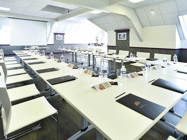
Located 200 meters far from the train station TGV, Swisslife Tower is today the most representative building of this quarter of Lyon. The Business Center offers you a perfect location for your training.
Gares TGV
100meters from Gare TGV Part-Dieu , porte du Rhône Exit
Aéroport
30 minutes from Lyon Saint Exupéry (Satolas)
Rhône Express from Saint Exupéry airport (Terminus Gare part-Dieu)
This instructor-led, live training in Lyon (online or onsite) is aimed at beginner-level earth sciences and engineering professionals who wish to use Python for geospatial analysis in both ArcGIS and QGIS environments.
By the end of this training, participants will be able to:
Learn Python syntax and control structures for executing geospatial tasks efficiently.
Use Pandas, Numpy, and Matplotlib for data analysis and visualization in GIS.
Manipulate and analyze vector data with Geopandas, Arcpy, and PyQGIS libraries.
Automate geospatial processes and workflows using Python scripting in ArcGIS and QGIS.
Develop custom Python-based geoprocessing tools for ArcGIS and QGIS to streamline tasks.
A geographic information system (GIS) is a system designed to capture, store, manipulate, analyze, manage, and present spatial or geographic data. The acronym GIS is sometimes used for geographic information science (GIScience) to refer to the academic discipline that studies geographic information systems and is a large domain within the broader academic discipline of geoinformatics.
QGIS functions as geographic information system (GIS) software, allowing users to analyze and edit spatial information, in addition to composing and exporting graphical maps. QGIS supports both raster and vector layers; vector data is stored as either point, line, or polygon features. Multiple formats of raster images are supported, and the software can georeference images. To summarize it allows the users to create, edit, visualise, analyse and publish geospatial information on Windows, Mac, Linux, BSD.
This program, in its first phase, introduces the QGIS interface for general usage. In the second phase, we introduce PyQGIS - the python libraries of QGIS that allows the integration of GIS functionalities in your python code or your python application, so that you may even create your own Python Plugin around a particular GIS functionality.
Online QGIS training in Lyon, QGIS training courses in Lyon, Weekend QGIS courses in Lyon, Evening QGIS training in Lyon, QGIS instructor-led in Lyon, QGIS private courses in Lyon, Evening QGIS courses in Lyon, Weekend QGIS training in Lyon, QGIS instructor in Lyon, Online QGIS training in Lyon, QGIS instructor-led in Lyon, QGIS boot camp in Lyon, QGIS on-site in Lyon, QGIS coaching in Lyon, QGIS classes in Lyon, QGIS trainer in Lyon, QGIS one on one training in Lyon