Online or onsite, instructor-led live QGIS training courses in Strasbourg.
Strasbourg, Kibitzenau Station
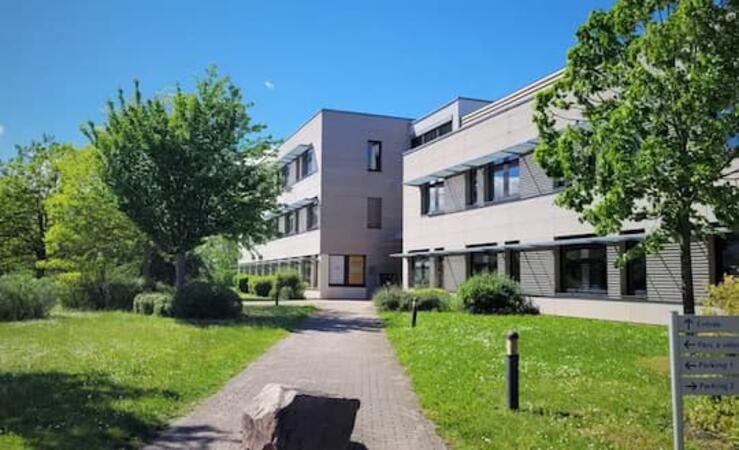
Le Lodge Business Center, 20 avenue du Neuhof , Strasbourg, France, 67100
Access: opposite the Kibitzenau streetcar station, in the ZFU.
Training can also be organized on your premises in Strasbou...
Access: opposite the Kibitzenau streetcar station, in the ZFU.
Training can also be organized on your premises in Strasbourg or remotely. The 3rd option is to rent a room specifically for the duration of the course.
Training sessions can be given in English or French. For each session, we organize a coordination call with the trainer and participants to adapt the program to your expectations and level. Training includes theory, discussion, questions/answers and practical exercises.
Remote training is delivered via DaDesktop for training, a software package published by NobleProg that enables participants to have a workstation (VM) set up specifically for the training.
A geographic information system (GIS) is a system designed to capture, store, manipulate, analyze, manage, and present spatial or geographic data. The acronym GIS is sometimes used for geographic information science (GIScience) to refer to the academic discipline that studies geographic information systems and is a large domain within the broader academic discipline of geoinformatics.
QGIS functions as geographic information system (GIS) software, allowing users to analyze and edit spatial information, in addition to composing and exporting graphical maps. QGIS supports both raster and vector layers; vector data is stored as either point, line, or polygon features. Multiple formats of raster images are supported, and the software can georeference images. To summarize it allows the users to Create, edit, visualise, analyse and publish geospatial information on Windows, Mac, Linux, BSD.
This program, in its first phase, introduces the QGIS interface for general usage. In the second phase, we introduce PyQGIS - the python libraries of QGIS that allows the integration of GIS functionalities in your python code or your python application, so that you may even create your own Python Plugin around a particular GIS functionality.
Read more...
Last Updated:
Testimonials (1)
The trainer adapted the materials and contents to what he thought would be best for us and he succeeded. The quality of the training was excellent.
Online QGIS training in Strasbourg, QGIS training courses in Strasbourg, Weekend QGIS courses in Strasbourg, Evening QGIS training in Strasbourg, QGIS instructor-led in Strasbourg, QGIS private courses in Strasbourg, QGIS instructor-led in Strasbourg, Online QGIS training in Strasbourg, QGIS on-site in Strasbourg, QGIS coaching in Strasbourg, Weekend QGIS training in Strasbourg, QGIS boot camp in Strasbourg, QGIS classes in Strasbourg, QGIS trainer in Strasbourg, QGIS one on one training in Strasbourg, Evening QGIS courses in Strasbourg, QGIS instructor in Strasbourg