Online or onsite, instructor-led live QGIS training courses in Poitiers.
Poitiers
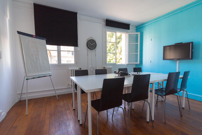
NobleProg Poitiers, 21 rue Gaston Hulin, Poitiers, france, 86000
Training courses can be organised at our premises in Poitiers, at your premises, or remotely.
Training courses are given in...
Training courses can be organised at our premises in Poitiers, at your premises, or remotely.
Training courses are given in English or French. We organise a coordination meeting with the trainer and the participants to adapt the training program to your expectations. The courses consist of interactive discussions, theoretical parts and practical exercises.
The training is available as "live on-site training" or "live remote training". Live on-site training can be conducted locally at the client's premises in Poitiers or at the NobleProg corporate training centers in Poitiers.
Remote e-learning is conducted using an interactive desktop computer. NobleProg is the publisher of the DaDesktop software, which is presented in a video at https://www.dadesktop.com/
A geographic information system (GIS) is a system designed to capture, store, manipulate, analyze, manage, and present spatial or geographic data. The acronym GIS is sometimes used for geographic information science (GIScience) to refer to the academic discipline that studies geographic information systems and is a large domain within the broader academic discipline of geoinformatics.
QGIS functions as geographic information system (GIS) software, allowing users to analyze and edit spatial information, in addition to composing and exporting graphical maps. QGIS supports both raster and vector layers; vector data is stored as either point, line, or polygon features. Multiple formats of raster images are supported, and the software can georeference images. To summarize it allows the users to Create, edit, visualise, analyse and publish geospatial information on Windows, Mac, Linux, BSD.
This program, in its first phase, introduces the QGIS interface for general usage. In the second phase, we introduce PyQGIS - the python libraries of QGIS that allows the integration of GIS functionalities in your python code or your python application, so that you may even create your own Python Plugin around a particular GIS functionality.
Read more...
Last Updated:
Testimonials (1)
The trainer adapted the materials and contents to what he thought would be best for us and he succeeded. The quality of the training was excellent.
Online QGIS training in Poitiers, QGIS training courses in Poitiers, Weekend QGIS courses in Poitiers, Evening QGIS training in Poitiers, QGIS instructor-led in Poitiers, QGIS one on one training in Poitiers, Online QGIS training in Poitiers, QGIS trainer in Poitiers, QGIS instructor-led in Poitiers, QGIS private courses in Poitiers, Weekend QGIS training in Poitiers, QGIS on-site in Poitiers, QGIS instructor in Poitiers, Evening QGIS courses in Poitiers, QGIS coaching in Poitiers, QGIS classes in Poitiers, QGIS boot camp in Poitiers